Global news
CARIBBEAN SEA, COLOMBIA, CUBA, EVACUATIONS, FLORIDA, GREATER ANTILLES, HURRICANE, HURRICANE SEASON, MODEL ENSEMBLE, NATIONAL HURRICANE CENTER, NATURAL DISASTER, NORTH AMERICA, PATTY, PUERTO RICO, RAFAEL, RYAN TRUCHALAT, SARA, SOUTH AMERICA, UNITED STATES, USA TODAY NETWORK, WEATHER, WEATHERTIGER, WIND GUSTS
Fatima Khan
0 Comments
Monitoring of Weather Disturbances: Subtropical Storm Patty and Potential Threats in the Caribbean
The National Hurricane Center monitors three disturbances including Subtropical Storm Patty, which is weakening in the Atlantic. An 80% chance exists for a tropical depression to form in the Caribbean next week. While Florida remains safe for now, residents should stay informed as conditions could change.
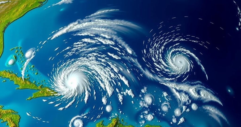
Currently, the National Hurricane Center is monitoring three weather disturbances, including the formation of Subtropical Storm Patty in the Atlantic Ocean. This storm is situated west of the Azores, moving east-southeast at a speed of 7 mph, with maximum sustained winds reaching approximately 50 mph. Forecasters predict a gradual weakening of this storm with potential degeneration into a post-tropical system by late Sunday. Simultaneously, a broad area of low pressure in the southwestern Caribbean Sea has an 80% likelihood of developing into a tropical depression in the upcoming week. Notably, another disturbance is present to the east, near Puerto Rico, which may cause localized thunderstorms over the Greater Antilles but is anticipated to be absorbed by the Caribbean low-pressure system. Forecasters indicate that no immediate threats are present for Florida, with prevailing conditions suggesting that any emerging storms will likely move westward into the southwestern Gulf of Mexico. However, a minority of models suggest a potential turn towards Florida by late next week. Hence, while Florida faces no current threats, residents are advised to remain vigilant. November tends to alter the patterns of tropical storm formation, focusing more on the Caribbean and the Southeastern United States. Historically, only a few hurricanes have made landfall in Florida during November, indicating a relatively rare occurrence. The weather system’s formation chances are forecasted at a medium likelihood of 60% over the next 48 hours and high at 80% over the next week for the southwestern Caribbean Sea system. Residents in areas affected by these systems, especially in the Azores and the Caribbean, should remain alert for potential changes in weather conditions.
The Atlantic hurricane season officially runs from June 1 until November 30. During this period, numerous weather patterns are monitored for potential tropical development. In early November, as the season nears its end, tropical development often shifts closer to the U.S., with the Caribbean and Southeastern U.S. coasts becoming primary areas of interest for forecasters. Historically, storms during this time have been less common, leading to a focus on tracking and understanding anomalous weather patterns that develop close to land. Conditions such as warm sea temperatures and low wind shear are conducive to storm formation, making this period crucial for monitoring potential disturbances.
In summary, the National Hurricane Center is currently observing Subtropical Storm Patty and several additional disturbances in the Atlantic. While no immediate threat is posed to Florida, a potential tropical depression is expected to develop in the southwestern Caribbean. Residents are encouraged to stay informed and vigilant as conditions evolve. The focus for potential storm activity is increasingly shifting toward the Caribbean and southeastern U.S., a trend typical for this late stage in the hurricane season.
Original Source: www.tallahassee.com


Post Comment