Monitoring of Tropical Systems: National Hurricane Center Update
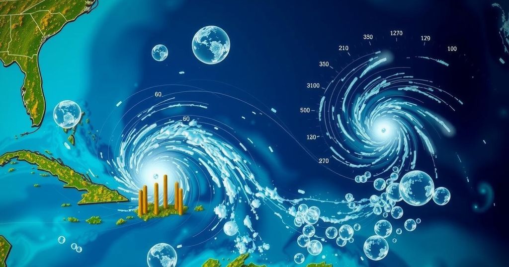
The National Hurricane Center is monitoring three tropical systems in the Atlantic and Caribbean, including one in the Southwestern Caribbean expected to develop into a tropical depression. The chance of formation for this system is currently at 60%, alongside a low-pressure trough near Puerto Rico and a non-tropical low in the North Atlantic with 10% and 20% formation chances, respectively. Heavy rains are anticipated across affected areas.
The National Hurricane Center has reported that it is currently monitoring three distinct tropical systems in the Atlantic Ocean and the Caribbean Sea as of Thursday afternoon. The first system, located in the Southwestern Caribbean Sea, is exhibiting signs of potential development. It is anticipated that a broad area of low pressure will form within the next day or two, leading to the possibility of gradual development. A tropical depression may arise over the upcoming weekend or early next week as the system drifts generally in a northward or northwestward direction across the central or western Caribbean Sea. Regardless of whether further development occurs, there is a likelihood of locally heavy rainfall in the upcoming days, especially across regions from Nicaragua southeastward and eastward into northern Colombia. Currently, there is a 60% chance of formation over the next week, a notable increase from Wednesday’s assessment of 40%. Officials from the National Weather Service in Jacksonville emphasized the importance of recognizing that the presence of threats originating from the Northwest Caribbean Sea or the Southeast Gulf of Mexico during this time of year is not uncommon. Historically, storms originating from these regions tend to track across South Florida or Cuba before moving toward the Bahamas, citing Hurricane Michelle in 2001 as a pertinent example, while also acknowledging exceptions such as Hurricanes Kate in 1985 and Nicole in 2022. The second area of focus pertains to a trough of low pressure near Puerto Rico, which is currently generating widespread cloudiness and showers over the Dominican Republic, Puerto Rico, the Virgin Islands, and the northern Leeward Islands, as well as adjacent Atlantic waters and the northeastern Caribbean. This system may experience slow development within the next two to three days as it progresses west-northwestward near the Greater Antilles. Following this period, it is anticipated that this system will be absorbed by the low-pressure area over the Caribbean. Regardless of its development potential, significant rainfall is expected over the coming days across the northern Leeward Islands, Puerto Rico, Hispaniola, eastern Cuba, and the southeastern Bahamas. Presently, there is a 10% chance of formation over the next 2 to 7 days for this system. Lastly, the third area under observation is situated in the North Atlantic, where showers and thunderstorms have materialized around a non-tropical low pressure area approximately 550 miles west of the Azores. It is projected that any potential development into a subtropical or tropical cyclone will occur at a slow pace, as the system is anticipated to move eastward over the next several days. Currently, there is a 20% chance of formation over the next 2 to 7 days for this particular low pressure system. It is noteworthy that the next named tropical cyclone, should any of these systems develop, will be designated as “Patty.”
The article discusses the monitoring activities performed by the National Hurricane Center regarding three tropical systems displaying varying degrees of development in the Atlantic and Caribbean regions. This environmental phenomenon, particularly relevant during the hurricane season, highlights the dynamic nature of tropical weather and the associated risks. Understanding storm development patterns, climatological history, and the potential for localized weather impacts provides critical context for forecasts and public safety alerts. Notably, the text elucidates the increasing chances of formation for the Southwestern Caribbean system and delves into the historical occurrences of similar storms in the region, providing insights into the climatological patterns that often dictate storm trajectories across South Florida, Cuba, and the Bahamas. The information shared aims to inform the public about potential weather-related hazards and the importance of preparedness during the hurricane season.
In summary, the National Hurricane Center is actively monitoring three tropical systems, with particular attention given to the potential development of a system in the Southwestern Caribbean Sea. Local heavy rains are anticipated across various regions regardless of development, emphasizing the need for vigilance. The evolving nature of these systems and their potential impacts underscore the importance of continued observation and timely updates to ensure public safety. Furthermore, the next named storm will be Patty, should a system develop accordingly.
Original Source: www.news4jax.com


Post Comment