Understanding the Geological Activity of Ethiopia: Earthquakes and Volcanoes

Ethiopia experiences earthquakes and volcanic eruptions due to its position on the East African Rift Valley. With a rich geological history, the region has seen significant seismic activity recently, including over 200 earthquakes and structural damage. Scientists recommend improved monitoring techniques and community engagement to prepare for potential hazards.
Ethiopia’s geological activity stems from the ongoing processes within the Earth, particularly along the East African Rift Valley. This natural laboratory, which has evolved for millions of years, is characterized by frequent earthquakes and volcanic eruptions. Researcher Gemechu Bedassa Teferi delves into the science behind the seismic and volcanic events occurring in Ethiopia, particularly in the region of Fentale.
The origins of tremors and eruptions in Ethiopia can be traced back to the rift between continental plates, which formed the Red Sea and the Gulf of Aden approximately 18 million years ago. A significant crack developed beneath the Afar Depression around 11 million years ago, underlying the region’s current geological instability. The Earth’s mantle, a hot semi-solid layer, is responsible for pushing molten rock towards the surface, causing volcanic activity.
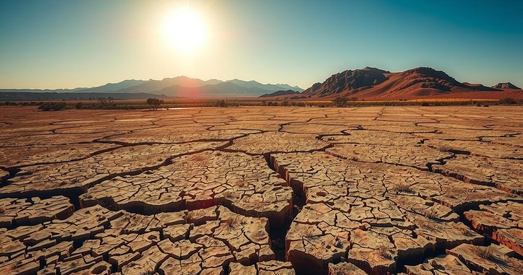
As the mantle rock heats and moves, it creates rifts in the Earth’s crust. This process ultimately leads to earthquakes, which occur when accumulated stress on rock formations is suddenly released as seismic waves, manifesting as ground shaking. The Afar region remains one of the world’s most tectonically active areas, with recent events indicating continuous volcanic and seismic activity.
Within the last five months, more than 200 earthquakes, notably with magnitudes exceeding 4, have occurred, including a substantial tremor of magnitude 6. The damage has been widespread, affecting infrastructure in Fentale and even felt in the capital, Addis Ababa, located nearly 190 kilometers away. The region has not seen a volcanic eruption in recent months, the last recorded eruption at Fentale took place in 1820.
Scientists studying the current seismic activity have utilized satellite radar images to confirm that the earthquakes are linked to molten rock rising approximately 10 kilometers below the surface of Awash Fentale. The implications of this geological activity are complex, influenced by factors such as the molten material’s temperature and viscosity, as well as the strength of surrounding rocks.
Three primary outcomes are possible regarding the molten rock under Fentale: it may cool and solidify; it may lead to an eruption as it pushes through the crust; or it may interact with other molten materials, resulting in either cooling or an explosive eruption. However, unpredictable variables remain, necessitating enhanced prediction mechanisms to better understand potential hazards.
The scientific community and local authorities must work together to implement effective monitoring strategies, including volcanic gas measurements and GPS monitoring, as well as maintaining open communication with communities that are at risk. It is essential to prioritize preparation to mitigate the impact of future geological events.
Ethiopia’s earthquakes and volcanic activity are the result of complex geological processes driven by the movement of molten rock beneath the Earth’s crust. With significant seismic occurrences already noted, increased monitoring and predictive measures are essential for public safety. Collaborative efforts between scientists and local authorities will enhance preparedness and facilitate timely communication to at-risk communities.
Original Source: www.downtoearth.org.in

Post Comment