Hurricane Rafael Downgraded to Tropical Storm: Latest Update from NHC
Hurricane Rafael has weakened to a high-end tropical storm with winds at 70 mph, moving slowly west-northwest. A sharp turn toward Mexico is expected, with minimal impact on the U.S. except for possible rip currents. The NHC is monitoring another disturbance near the Leeward Islands with a low development chance of 10%.
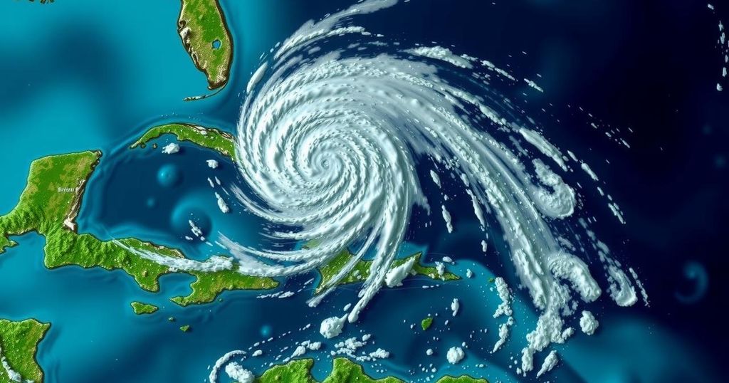
Hurricane Rafael has decreased significantly in intensity, now classified as a high-end tropical storm with sustained winds of 70 mph. The storm’s movement towards the west-northwest has also slowed to 5 mph. Future predictions indicate an ongoing weakening trend and an expected sharp turn towards Mexico by the weekend. Fortunately, the U.S. is not anticipated to face any direct impacts from Rafael, aside from a possible increase in rip currents along the coastline. Currently, Rafael is located at 24.8° N latitude and 89.9° W longitude, approximately 240 miles north of Progreso, Mexico, and 460 miles east of the mouth of the Rio Grande. The storm’s minimum central pressure stands at 989 mb. In addition to Rafael, the National Hurricane Center is monitoring another area of thunderstorms situated near the Leeward Islands; however, the potential for development remains low at only 10% as per the latest advisory.
The tracking and forecasting of hurricanes are crucial for public safety and preparedness, particularly as these storms can evolve rapidly in intensity and path. Hurricane Rafael had previously been categorized as a major hurricane, highlighting the unpredictable nature of tropical systems. Understanding the storm’s current status and potential trajectory assists in managing risks, especially in coastal regions where residents may be vulnerable to hurricanes and their associated impacts.
In summary, Hurricane Rafael has weakened from a major storm to a high-end tropical storm, with sustained winds decreasing to 70 mph. The storm is expected to continue its weakening trend and will likely turn toward Mexico soon. There are no anticipated impacts on the U.S., with the main concern being potential rip currents. Additionally, the National Hurricane Center is cautiously monitoring a separate area of thunderstorms for future developments.
Original Source: www.alabamawx.com


Post Comment