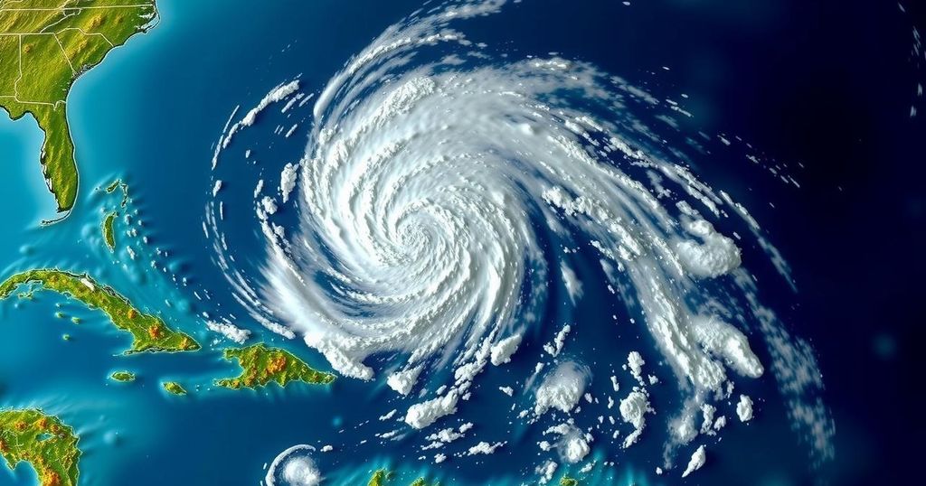
Formation of Subtropical Storm Patty in the North Atlantic
Subtropical Storm Patty has formed in the North Atlantic, approaching the Azores and leading to tropical storm warnings. It exhibits characteristics of a subtropical storm and is accompanied by a monitoring of systems in the Caribbean that could also impact the region.
The North Atlantic has recently witnessed the formation of Subtropical Storm Patty, which is situated approximately 420 miles west-northwest of the Azores. The storm is anticipated to approach the Azores over the weekend, leading to the issuance of tropical storm warnings for the islands. As a subtropical storm, Patty exhibits some characteristics typical of a tropical system but lacks the complete classification, thereby marking it as the initial subtropical storm of the current season. As of 4 a.m. CDT, Subtropical Storm Patty is advancing east-northeast at a speed of 7 mph, with sustained winds reaching 50 mph. The National Hurricane Center indicates that Patty is not expected to strengthen significantly, and its duration is predicted to be brief. However, the Azores should prepare for potential tropical storm conditions, including 1-2 inches of rain, vigorous seas, and rip currents. In addition to Patty, the National Hurricane Center is monitoring a separate system situated in the western Caribbean Sea that was regarded as a potential contender for the name Patty prior to the storm’s formation in the North Atlantic. This Caribbean system is projected to become more organized in the coming days, with the possibility of developing into a tropical depression. Should it transition into a tropical storm, it would be designated as Rafael. Furthermore, heavy rainfall is anticipated for areas such as Jamaica, Hispaniola, and Cuba as the system progresses to the north or northwest. Furthermore, a secondary disturbance located near Puerto Rico and Hispaniola is under observation for potential slow development as it moves west-northwest. However, forecasters predict it might merge with the western Caribbean system in early next week, with only a 10 percent probability of evolving into a tropical depression. This disturbance could also impact regions including Puerto Rico, the Leeward Islands, Hispaniola, the Bahamas, and eastern Cuba. It is worth noting that the Atlantic hurricane season will continue until November 30, providing a window for further storm activity.
The formation of subtropical storms occurs when a system develops within subtropical regions of the atmosphere, possessing a hybrid mix of tropical and mid-latitude characteristics. Subtropical Storm Patty is notable as it represents the first named storm of its type for the current Atlantic hurricane season. The National Hurricane Center plays a crucial role in monitoring such systems, issuing warnings and tracking potential threats, especially towards populated regions like the Azores. Concurrently, the monitoring of systems in the Caribbean is vital due to their potential to impact mainland areas, such as the United States, should their paths shift into the Gulf of Mexico or other significant regions.
In summary, Subtropical Storm Patty has emerged in the North Atlantic, bringing significant weather conditions to the Azores, including expected rainfall and rough seas. While Patty is anticipated to be a short-lived storm, attention must also be directed towards the developing system in the Caribbean, which has the potential to evolve into Tropical Storm Rafael. Additionally, the presence of disturbances in the region warrants continued observation for future developments as the Atlantic hurricane season remains active until the end of November.
Original Source: www.al.com


Post Comment