Potentially Troubling Tropical Disturbances on the Horizon
The National Hurricane Center is tracking three disturbances that could develop into tropical or subtropical cyclones, with one likely to form in the Gulf of Mexico within the week. The chances of formation are 60% for one system, while slow development is possible for another in the northeastern Caribbean. A third system in the North Atlantic has a low chance of subtropical formation.
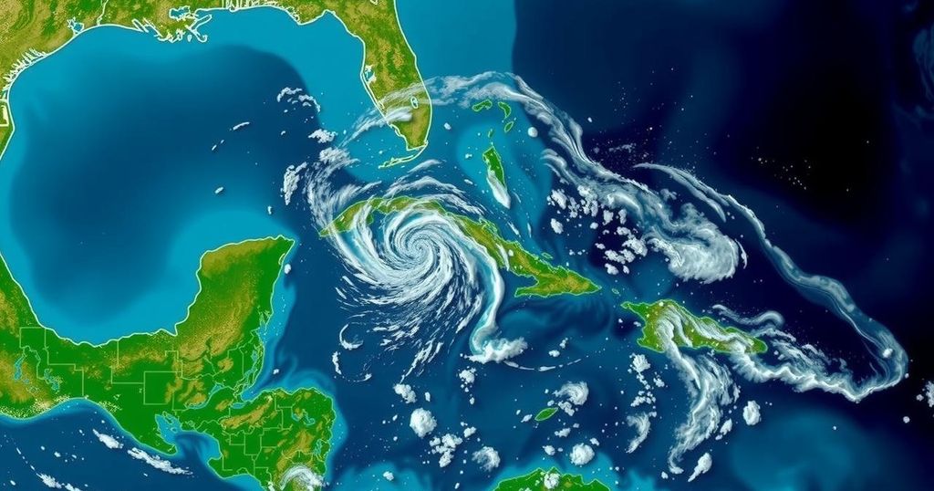
The National Hurricane Center (NHC) is currently monitoring a trio of disturbances that hold the potential to evolve into tropical or subtropical cyclones in the coming days. One significant disturbance is anticipated to develop into a system in the Gulf of Mexico within the week ahead. This morning, the NHC reported that a broad area of low pressure is expected to materialize over the southwestern Caribbean Sea shortly. Gradual development is likely thereafter, with the potential formation of a tropical depression by late this weekend or early next week as the system drifts northward or northwestward across the central or western Caribbean Sea. The NHC cautions that, “Regardless of development, locally heavy rains are possible over portions of the adjacent land areas of the western Caribbean.” Currently, there is a 60% probability of tropical cyclone formation within the next seven days. Global computer forecast models are increasingly converging on the notion that this disturbance will move into the Gulf of Mexico in the forthcoming week, raising the possibility of it becoming a tropical storm or stronger. Although it is premature to ascertain the exact outcome, residents along the U.S. Gulf Coast are reminded that hurricane season persists until the end of the month. Additionally, the NHC is scrutinizing the conditions in the northeastern Caribbean Sea and the Greater Antilles. Observations and satellite-derived winds have indicated that a trough of low pressure near Puerto Rico is generating widespread cloudiness and showers impacting the Dominican Republic, Puerto Rico, the Virgin Islands, the northern Leeward Islands, and surrounding Atlantic waters. There exists the potential for slow development in this system over the next two to three days as it progresses west-northwestward near the Greater Antilles. Following that period, the NHC anticipates that this system will merge with the prevailing low-pressure area over the Caribbean. Locally heavy rainfall is also possible in the coming days from the northern Leeward Islands extending westward to Puerto Rico, Hispaniola, eastern Cuba, and the southeastern Bahamas. The third area of concern lies in the far northern Atlantic, where a non-tropical low-pressure system, currently exhibiting storm-force winds, is located approximately 450 miles west of the Azores. This system is producing limited shower activity, yet some subtropical development could occur as it drifts generally eastward over the next few days. At present, the NHC estimates a 20% chance for a subtropical storm to develop in this region over the next week.
The formation of tropical and subtropical systems during this time of year is a regular occurrence due to the climatic conditions present in the Caribbean and surrounding regions. The NHC plays a critical role in informing the public about disturbances that could develop into cyclones, which may pose risks of severe weather, including heavy rainfall and strong winds. Understanding these systems is crucial for residents and authorities along affected coastlines, particularly during the hurricane season, which runs from June 1 to November 30.
In summary, the NHC continues to monitor three significant disturbances in the Caribbean and Atlantic regions, with one expected to enter the Gulf of Mexico potentially as a tropical storm. Residents are advised to remain vigilant as hurricane season continues, and localized heavy rains are anticipated regardless of the development of these systems. For those living in coastal areas, it is imperative to stay informed about weather developments.
Original Source: weatherboy.com


Post Comment