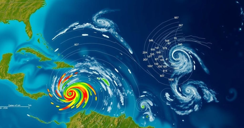
National Hurricane Center Monitors Three Disturbances in the Atlantic with High Development Potential
The National Hurricane Center is tracking three disturbances in the Atlantic, one with a 70% chance of developing into a tropical depression in the coming days, particularly over the southwestern Caribbean. Additionally, two other systems are being monitored, although both show lower chances of formation.
The National Hurricane Center (NHC) reported on Friday that it is monitoring three weather disturbances in the Atlantic, one of which exhibits a significant likelihood of evolving into a tropical depression in the near future. The NHC has noted a “broad area of low pressure” anticipated to materialize over the southwestern Caribbean Sea within the next day, with expectations for gradual development thereafter. The forecasters indicated, “A tropical depression is likely to form late this weekend or early next week while the system drifts generally northward or northwestward over the central of western Caribbean Sea.” Despite the uncertainties of development, the NHC warned that heavy rainfall could occur in the western Caribbean region immediately surrounding the system. Currently, the NHC has assigned a 70 percent probability to this system’s formation over the subsequent week. Should the system undergo development, the subsequent names in the 2024 Atlantic hurricane season are likely to be Patty and Rafael. Additionally, the NHC is also observing two other disturbances in the Atlantic, both of which exhibit low formation probabilities. The first system is characterized by a “trough of low pressure” situated near Puerto Rico, which has been generating significant showers and thunderstorms across parts of the Greater Antilles along with adjacent oceanic regions in the Atlantic. The NHC postulated, “Slow development of this system is possible during the next few days as it moves west-northwestward near the Great Antilles;” however, it is expected that this system will be absorbed into the previously mentioned low pressure area across the Caribbean. As for the second disturbance, the NHC classified it as a “storm-force non-tropical low pressure area” approximately 400 miles west of the Azores. This system is currently producing limited shower activity; nevertheless, the NHC indicated that some subtropical development may occur as it advances eastward in the following days.
The monitoring of disturbances in the Atlantic is critical as these systems can potentially develop into tropical storms or hurricanes, which pose significant threats to coastal regions. The National Hurricane Center is a key agency responsible for tracking these disturbances and issuing timely warnings and forecasts. Their assessments include probabilities of development, which informs both governmental preparedness and public awareness regarding potential weather hazards.
In summary, the National Hurricane Center is currently tracking three disturbances in the Atlantic, with one showing a high potential for development into a tropical depression. Although other systems are present, they exhibit lower chances of development. The potential for heavy rainfall in neighboring regions underscores the necessity for vigilance as the hurricane season progresses.
Original Source: www.usatoday.com


Post Comment