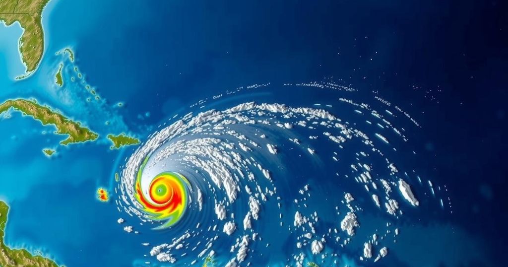
Potential Tropical Developments in the Caribbean and North Atlantic
As of October 31, 2024, three areas of interest for tropical development are being monitored: one in the North Atlantic and two in the Caribbean. A tropical depression may form this weekend in the Southwestern Caribbean, with heavy rains likely. Historical hurricane landfalls in November in Florida are noted, along with a non-tropical low-pressure system currently in the North Atlantic. Formation chances remain low in some areas as the hurricane season nears its end.
This report provides an update on potential tropical developments in the tropics for Thursday, October 31, 2024. Currently, three areas are under observation: one in the North Atlantic and two in the Caribbean, with particular emphasis on Southwest Florida. 1. Southwestern Caribbean Sea: An area of low pressure is anticipated to emerge in the southwestern Caribbean Sea within the next couple of days. This system could gradually develop into a tropical depression over the weekend or early in the following week as it drifts northward or northwestward. Regardless of any potential development, significant rainfall is expected in areas from Nicaragua to northern Colombia. – Formation chance through 48 hours: low (10 percent). – Formation chance through 7 days: medium (60 percent). 2. Northeastern Caribbean Sea and Greater Antilles: A trough of low pressure near Puerto Rico is contributing to moist conditions and showers across the Dominican Republic, Puerto Rico, the Virgin Islands, and the northern Leeward Islands. Slow development is possible as this system moves west-northwest. It is likely to merge with the low pressure area over the Caribbean. Heavy rains can be expected across regions from the northern Leeward Islands to the southeastern Bahamas. – Formation chance through 48 hours: low (10 percent). – Formation chance through 7 days: low (10 percent). The GFS and ECMWF ensemble models indicate a potential merger of these low-pressure systems over the weekend, with a likelihood of a depression forming soon thereafter. The trajectory and strength of the system are still uncertain, dictated by a retreating high-pressure ridge near Florida and the incoming cold front. Current projections suggest that the next named storm could be termed “Patty.” Historically, Florida has seen only three hurricanes make landfall in the month of November since 1851: – The Miami Hurricane of 1935, registering wind speeds of 100 mph. – Hurricane Kate in 1985, which made landfall in Mexico Beach at 100 mph, marking the latest hurricane landfall in U.S. history on November 21. – Hurricane Nicole in 2022, impacting Vero Beach with winds of 75 mph. 3. North Atlantic: A non-tropical low-pressure system, located approximately 550 miles west of the Azores, has generated some showers and thunderstorms. Nonetheless, any further development into a subtropical or tropical system is anticipated to progress slowly. – Formation chance through 48 hours: low (20 percent). – Formation chance through 7 days: low (20 percent). Although the hurricane season will officially conclude on November 30, the transition into the dryer season should not diminish the importance of remaining informed about updates related to tropical activity. This document brings forth essential data regarding the possibility of tropical cyclones forming and emphasizes the need for vigilance amongst residents in affected areas.
This article highlights the current status and potential developments of tropical systems as of October 31, 2024. It discusses specific regions in the Caribbean and North Atlantic that are being monitored for the emergence of tropical depressions or cyclones, providing critical information regarding formation chances and the historical context of hurricanes affecting Florida in November. Additionally, it outlines the possible effects of these systems, including localized heavy rainfall and the trajectory uncertainties influenced by environmental factors such as high-pressure ridges and cold fronts.
In summary, weather patterns indicate the potential for several tropical systems to develop in the coming days, particularly in the Caribbean. With historical context provided, it is clear that while Florida has seen minimal hurricane activity in November, the current atmospheric conditions warrant close monitoring. Residents are encouraged to stay informed regarding potential storm developments as the hurricane season approaches its end on November 30th.
Original Source: www.fox4now.com


Post Comment