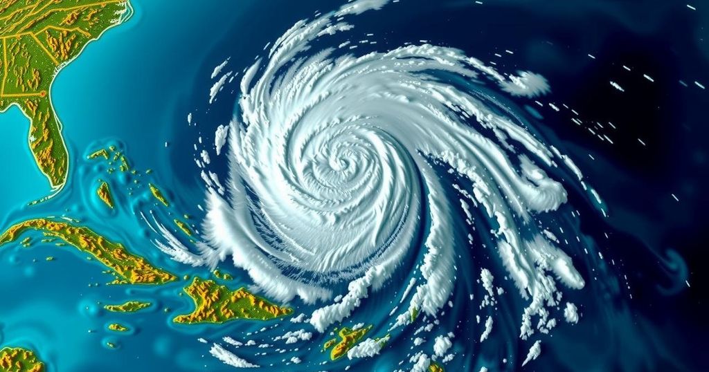
The Unforeseen Development of Hurricane Oscar and Its Implications for Weather Forecasting
Hurricane Oscar formed unexpectedly from a tropical wave east of Puerto Rico over a single weekend, surprising meteorologists who had predicted only a 10% chance of development. By early Saturday afternoon, reconnaissance flights confirmed the storm’s intensification, allowing for warnings to be issued shortly before landfall in the Bahamas and Cuba. This incident highlighted the difficulties in predicting small storms and the importance of human observation in complementing computer models.
On the evening of Friday, a chaotic tropical wave off the eastern coast of Puerto Rico was assessed to have just a 10% probability of strengthening in the following days. However, by midday Saturday, it had escalated into Hurricane Oscar, a Category 1 storm threatening the Bahamas. This rapid transformation left meteorologists puzzled, as the predictions from major storm models did not anticipate such a development. Experts pointed out that the diminutive storm had evaded many systematic forecasting tools, but dedicated humans—including hurricane hunters who gathered critical flight data—were able to issue timely warnings before the hurricane made landfall. Philippe Papin, the forecaster on duty for the National Hurricane Center, recognized the storm’s potential for development after analyzing passive microwave imagery, which revealed a low-level spiral indicative of a tropical storm. “It became pretty clear that a small circulation was developing,” Mr. Papin noted. By 11:00 a.m. on Saturday, the hurricane center issued its initial advisory for Tropical Storm Oscar, placing the storm’s path directly towards the Bahamas and Cuba. Subsequently, a team of Hurricane Hunters, dispatched from St. Croix, discovered a different system than previously assessed. The reconnaissance flight took place less than ten nautical miles from the storm’s center before any tropical-storm-force winds were recorded, emphasizing the storm’s elusive nature. By 2:00 p.m., the National Hurricane Center upgraded Oscar from a tropical storm to a hurricane, marking it as one of the smaller storms recorded in the Caribbean, which consequently limited the time available for preparations across the islands. Mr. Papin expressed concern regarding the limited warning timeline, explaining that “the typical time for issuing a watch is 48 hours of lead time. This was more like 12 to 24 hours. Obviously that is sub-optimal.” On Sunday morning, Hurricane Oscar made its first landfall on Great Inagua Island in the Bahamas, later affecting the eastern coast of Cuba in the evening. Initially, forecasts had suggested a strong likelihood of the system developing after it emerged off the African coast more than a week prior. Nonetheless, computer models had projected that it would weaken due to an influx of dry air. By Friday, no significant model indicated the potential formation of a tropical storm in either the Caribbean or Atlantic sea. Phil Klotzbach, a senior research scientist at Colorado State University, remarked, “I think the models just had a hard time resolving the circulation before they got the recon in there. It’s not like the models didn’t have signals; they had them and then it killed them off.” The reconnaissance data was quickly integrated into various models, leading them to eventually catch up with the situation. Hurricane Oscar was characterized as a particularly compact storm, with hurricane-force winds extending merely five nautical miles from the center. Mr. Papin elucidated the significance of the storm’s size, stating, “Size is definitely an important part of the equation of why the models weren’t handling this storm so well.” Although Oscar, at its formation, possessed a radius of 34 nautical miles, it is still smaller compared to other recorded storms, such as Humberto in 2007 and Jeanne in 2004, which had larger radius measurements of 26 and 28 nautical miles, respectively. Despite the low probability originally anticipated for Oscar’s development, forecasting small storms remains a significant challenge within meteorology, as these systems can change rapidly and unexpectedly.
The forecasting of tropical storms and hurricanes remains a complex task in meteorology, often reliant on computer models that analyze data gathered from various sources. Typically, these models provide predictions on the likelihood of storm development, but factors such as small storm size and unique atmospheric conditions can create discrepancies in forecasts. This article discusses the sudden formation of Hurricane Oscar, detailing how human intervention and observational data played a crucial role in responding to this meteorological event when traditional forecasting models fell short.
In summary, Hurricane Oscar’s rapid intensification from a tropical wave to a hurricane illustrates the challenges faced in storm prediction, primarily due to the limitations of computer modeling in resolving small storm systems. Meteorologists successfully managed to alert the necessary authorities due to timely reconnaissance flights and vigilant monitoring, albeit with considerably reduced lead time for preparation. This event underscores the inherent unpredictability of small tropical storms and the critical necessity for human oversight in meteorological forecasting.
Original Source: www.miamiherald.com


Post Comment