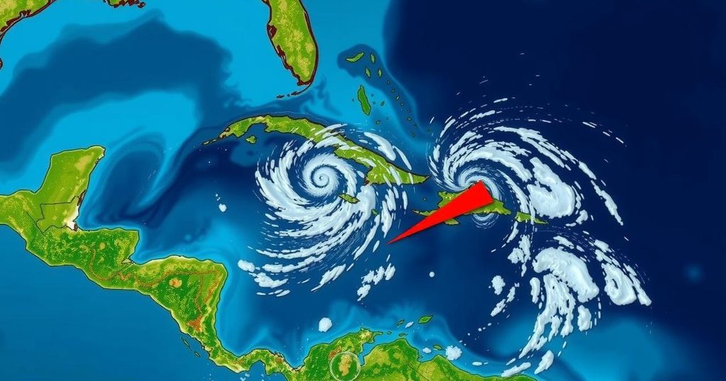
Tropical Developments in the Caribbean: Invest 94L and Invest 95L
The National Hurricane Center assesses two disturbances, Invest 94L and Invest 95L, in the Caribbean. Invest 94L’s development is now at a 10% chance, while Invest 95L has a 50% chance of becoming Tropical Storm Nadine as it moves toward Central America, bringing rainfall and potential flooding to the region.
The National Hurricane Center (NHC) is closely monitoring two tropical disturbances in the Caribbean, designated as Invest 94L and Invest 95L. The NHC has downgraded the likelihood of Invest 94L, currently located north of Puerto Rico and the Virgin Islands, developing into a tropical depression to just 10%. This system is moving north-northwest at approximately 20 mph and is expected to bring significant rain and gusty winds to northern Caribbean islands, particularly Hispaniola and the southeastern Bahamas. Despite the potential for heavy rainfall and winds, the system is not anticipated to have any impact on Florida due to prevailing strong wind shear which disrupts tropical formations in the region. Conversely, Invest 95L, situated to the north of eastern Honduras, has seen its chances of becoming Tropical Storm Nadine increase to 50%. This disturbance is becoming more organized and is expected to intensify before making landfall in Central America. The NHC indicates that if this system evolves into a tropical storm, it will also result in heavy rainfall across Central America and southern Mexico this weekend. In summary, while Invest 94L appears to be weakening, Invest 95L presents a greater likelihood of strengthening and could become Tropical Storm Nadine shortly before reaching land.
The National Hurricane Center is continuously tracking atmospheric conditions in the Caribbean Sea, where multiple disturbances are poised to develop into tropical storms or depressions. Invest 94L and Invest 95L represent two such disturbances, each with distinct forecasts regarding their potential impact. Historically, tropical systems in this region can evolve rapidly, affecting both local weather patterns and broader areas across the Southeastern United States and Central America. Monitoring these systems closely is crucial for accurate forecasting and issuing timely warnings to affected regions.
In conclusion, the current outlook suggests that Invest 94L is unlikely to develop significantly, bringing primarily rain and wind to the northern Caribbean Islands. In contrast, Invest 95L has a considerable potential for strengthening, which could lead to the formation of Tropical Storm Nadine as it approaches Central America. Both systems underline the importance of ongoing surveillance and preparedness in the face of tropical weather threats.
Original Source: www.pnj.com


Post Comment