Monitoring the Tropical Disturbance Invest 94L Near the Caribbean
The tropical disturbance Invest 94L is moving west through dry conditions and is unlikely to develop immediately. Possibly favorable conditions could arise as it approaches the Caribbean by Friday, with unpredictable impacts on territories such as Puerto Rico and Hispaniola. No threats are currently posed to Florida, with residents advised to remain vigilant.
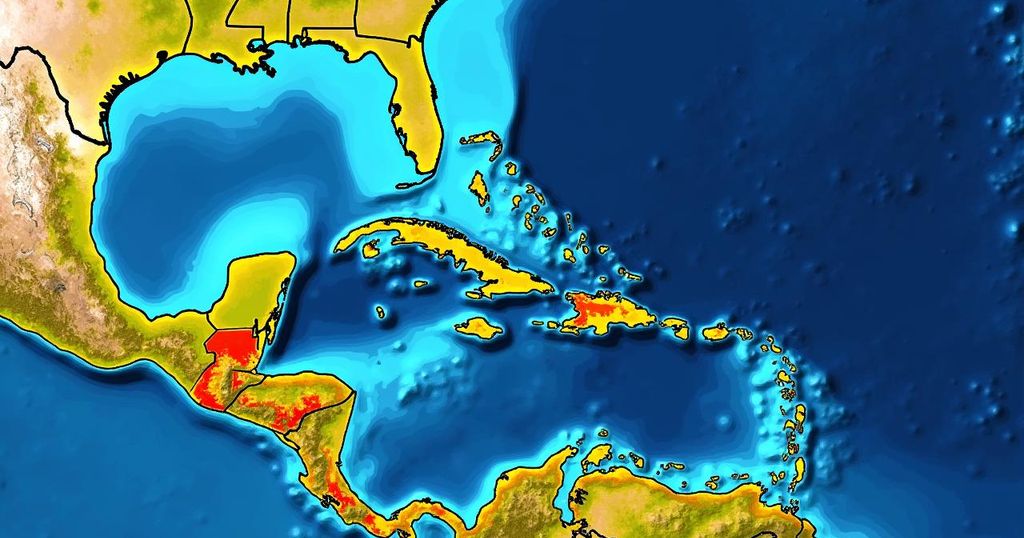
As of October 14, 2024, the tropical disturbance designated as Invest 94L is progressing westward through a region characterized by dry atmospheric conditions in the central tropical Atlantic. Currently, development of the system is not anticipated in the immediate future due to these hostile atmospheric conditions, which have inhibited the growth of thunderstorms within its circulation. However, forecasts indicate that as the system approaches the northeastern Caribbean islands, particularly around Friday, improved atmospheric conditions may facilitate some development. It is noteworthy that it is rather atypical for a tropical disturbance originating from Africa to reach near the Caribbean during this time of year. Typically, cooler ocean temperatures and hostile upper-level winds, accompanied by dips in the jet stream, inhibit such systems. Factors such as excessively warm ocean waters and a region of high pressure located to the north of the disturbance are contributing to this unusual trajectory. Current satellite imagery shows that while thunderstorms are attempting to develop around the center of the disturbance, the overall circulation remains disrupted and dry. Additionally, the National Hurricane Center is projecting a medium likelihood for the system to transition into at least a tropical depression as it nears the waters adjacent to Puerto Rico and nearby islands on Friday. There is a strong agreement among computer forecast models regarding the disturbance’s location at that time; however, the potential for development will vary from a simple moisture influx to a robust system featuring a well-defined circulation. Following Friday, the steering winds are expected to become less vigorous, allowing the system to drift towards territories such as Puerto Rico, the Dominican Republic, Haiti, or the southeastern Bahamas. It is critical to acknowledge that the possibility of impacts from a tropical storm or hurricane cannot be dismissed for the aforementioned islands. Furthermore, when steering flows are poorly defined, the uncertainty regarding the system’s trajectory increases significantly, necessitating vigilance from residents in Puerto Rico, the Virgin Islands, Hispaniola, and the southeastern Bahamas throughout the week. Fortunately, no immediate threat is posed to Hurricane-weary Florida at this juncture. The presence of a cold front over or near South Florida and a related dip in the jet stream over the Bahamas are expected to direct tropical systems away from the state. However, until the disturbance develops further clarity, the confidence in any long-range forecasts remains low.
The article addresses the current status of Invest 94L, a tropical disturbance in the Atlantic, highlighting its trajectory, potential development, and implications for regions in the Caribbean. Typically, this time of year sees a decline in tropical activity due to unfavorable atmospheric conditions; however, the ongoing meteorological phenomena present an unusual situation for this disturbance. The discussion underlines the necessity for residents in the potentially affected areas to stay alert, while also reassuring Florida residents that their region is unlikely to face immediate threats from this system.
In summary, the tropical disturbance Invest 94L is tracked moving westward through dry atmospheric conditions with an unlikely chance for immediate development. However, as it nears the northeastern Caribbean islands later in the week, conditions may become more conducive for growth, raising the potential for impacts in those areas. Central to this prediction is the acknowledgment that system trajectories may fluctuate, and there is currently no threat to Florida. Continuous monitoring is essential as the situation develops.
Original Source: www.foxweather.com


Post Comment